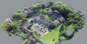
photogrammetry
Investing in your first UAV
Four reasons to switch to industrial drone mapping once you're ready to dive in to the technology. Keep Reading
How to choose between LIDAR and drone technology – or using both
Deciding which data collection technology is best for your site requires careful consideration. Keep Reading
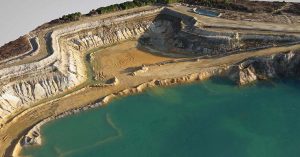
Surveying with a drone
Consider that both photogrammetry and LiDAR offer viable advantages from the sky. Keep Reading
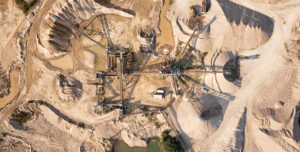
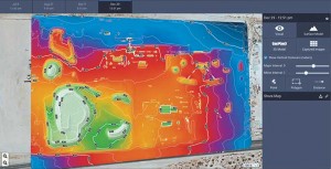
Measuring stockpile volumes with a drone
Producers should make several considerations to successfully implement a drone program into their operations for measuring stockpiles. Keep Reading
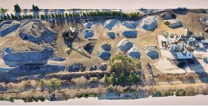
3-D imaging emerging as tool for aggregate industry
Could 3-D imaging software soon give aggregate companies new perspectives on their sites? Keep Reading
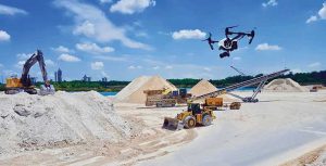
Using a drone to perform accurate inventory measurements
Moving like a lawn mower in the sky, a drone enhances a producer’s ability to perform accurate inventory measurements. Keep Reading