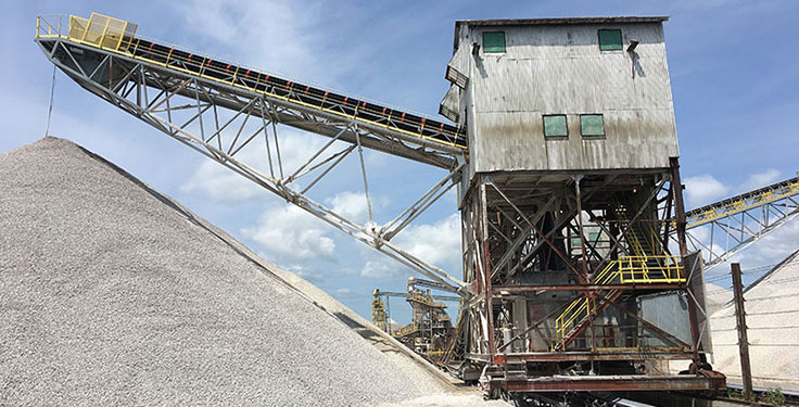
Data capture — automated, integrated, effortless
The Kespry Drone is completely automated. There are no joysticks. Simply create a mission with a few taps on the iPad and the drone does the rest. It uses LiDAR sensors to detect obstacles and automatically reroutes the flight path to avoid hazards.
Data processing — accurate, reliable, fast
When the drone has finished its mission, the captured data is automatically transferred to the Kespry Cloud for processing. No SD cards or servers needed.
Insights that improve business decisions
The Kespry Cloud is hosted online, so there’s no software to install. Data is automatically processed for you. Measure cut and fill volumes, distances, areas and perimeters. Make annotations for collaboration. View contours, elevation maps and rich 3D models.
Export the data in more than 30 file formats.
Focused on Customer Success
Every customer has a dedicated Customer Success Manager that’s always ready to answer questions.